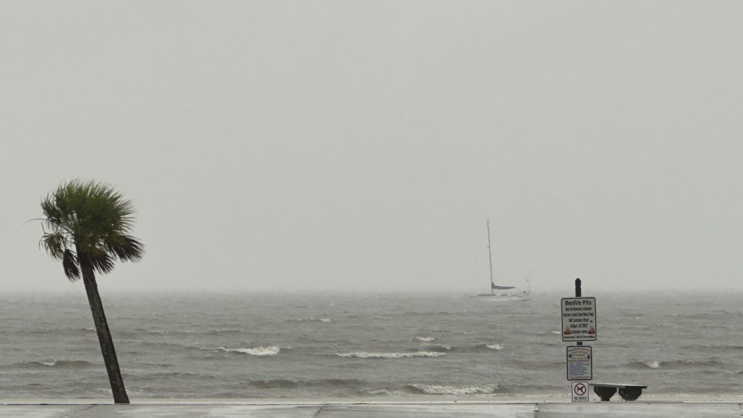
Warm water in the Gulf of Mexico helped quickly strengthen Hurricane Francine, creating danger for Louisiana residents rushing to buy supplies and secure their homes ahead of the storm’s landfall Wednesday.
Warm ocean water is essential for forming and strengthening hurricanes. Heat helps the water evaporate faster, fueling the storm and producing more rainfall.
Mid-September is typically the peak of hurricane season and Francine moved through a part of the ocean that held an exceptional amount of energy.
As of Wednesday afternoon, Francine had strengthened to a Category 2 hurricane with sustained winds of nearly 100 mph (161 kph).
Hear’s how high Gulf of Mexico water temperatures are effecting Francine and the hurricane season:
The Gulf of Mexico doesn’t need record setting temperatures to form hurricanes this time of year. Still, Francine traveled through water that at the surface, was somewhat hotter than average, but not record setting. The storm passed over a patch that was roughly 86 to 88 degrees (30 to 31 Celsius).
What’s exceptional is the amount of heat deeper down. Storms churn up the ocean, bringing to the surface cooler water.
Recently, however, that deeper layer was record-setting. It held more heat than at any point in the last decade, according to Brian McNoldy, a senior research associate at the University of Miami’s Rosenstiel School of Marine, Atmospheric, and Earth Science.
“This past week was pretty exceptional,” he said.
And Francine passed over a patch of water, called an eddy, that was especially hot.
Near the coast, however, the water is a bit cooler than average, meaning there’s less energy to strengthen the storm.
“It’s window for really intensifying is closed, so that’s good news,” he said.
Warmer water lower down matters most for large, strong storms that move slowly — that’s the recipe for churning up a bunch of deeper water.
“On the opposite end of that, a weaker, smaller, quicker moving storm will hardly churn up the ocean at all,” said McNoldy. For these storms, the temperature of deeper water matters less.
Francine isn’t extremely strong, so the energy stored deeper in the Gulf of Mexico didn’t matter quite as much, according to McNoldy.
Still, conditions were favorable enough for the storm to rapidly intensify. On Tuesday afternoon, Tropical Storm Francine had sustained winds of 65 mph (105 kph). A day later it’s nearly 100 mph (161 kph). This type of quick change can make storms more dangerous, fast, surprising those in their path.
“Our model projections are telling us this is the type of thing that should become much more common as we go forward into the 21st century, as global warming continues to increase,” according to Gabriel Vecchi, a hurricane researcher at Princeton University who also directs its High Meadows Environmental Institute.
But there’s other factors reducing Hurricane Francine’s power, according to Bob Smerbeck, a senior meteorologist at AccuWeather. Nearby dry air has weakened its growth and as the storm gets closer to the coast, winds will disrupt the shape of the hurricane, further reducing its power.
“Once it gets inland, it’ll weaken quickly, but it’s going to do a lot of damage along the way,” said Smerbeck.
Federal forecasters predicted an intense hurricane season. And a big storm came historically early. Hurricane Beryl formed in late June and reached Category 5.


